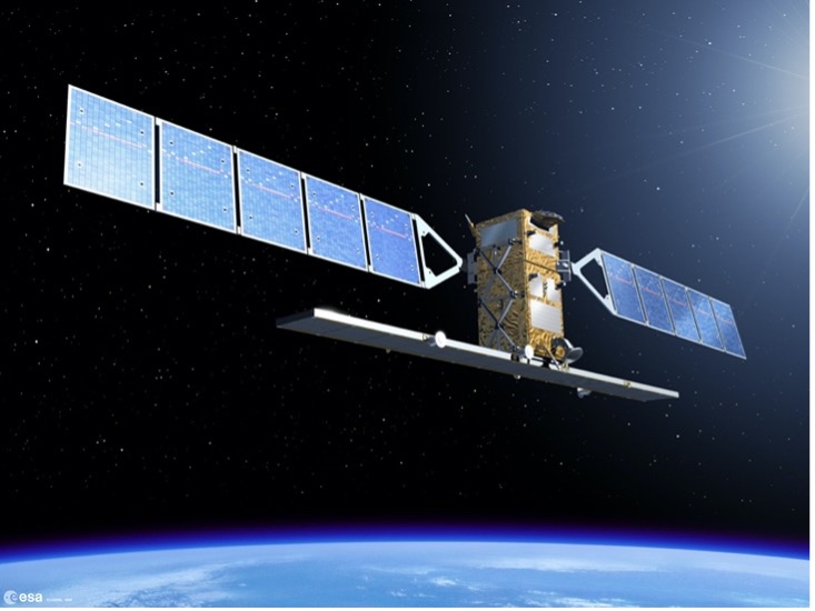
Sentinel-1, uses radar imaging to monitor land subsidence, urban deformation, and forest changes, supports disaster response to floods and earthquakes, tracks sea ice and oil spills, and enhances maritime security. Its radar can operate in all weather conditions and at any time, making it a crucial tool for environmental monitoring, geohazard assessment, and emergency management.
ESA’s Copernicus Program
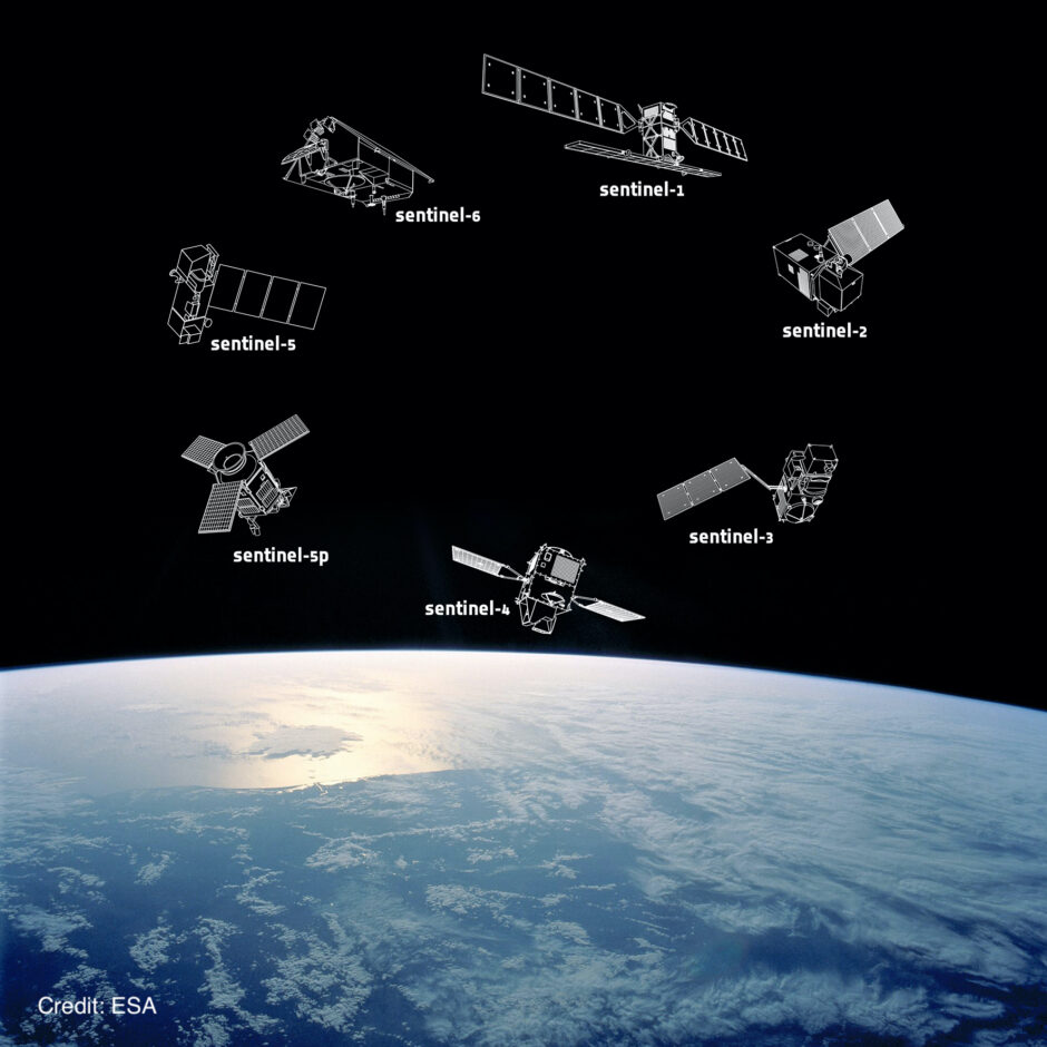
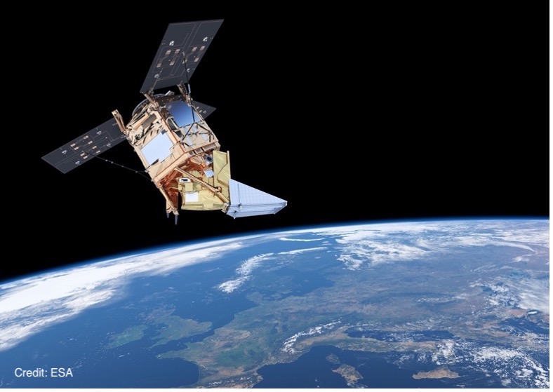
The Sentinels are a fleet of satellites designed specifically to deliver the wealth of data and imagery that are central to the European Commission’s Copernicus programme. Copernicus is the Earth observation component of the European Union’s Space programme. It provides accurate, timely and easily accessible information to improve the management of the environment, understand and mitigate the effects of climate change and ensure civil security.
Copernicus provides a unified system through which vast amounts of data are fed into a range of thematic information services designed to benefit the environment, the way we live, humanitarian needs and support effective policy-making for a more sustainable future.
These services fall into six main categories: land management, the marine environment, atmosphere, emergency response, security and climate change.
In essence, Copernicus is set out to help shape the future of our planet for the benefit of all.
The Sentinels' Mission
Sentinel-1
Sentinel-2
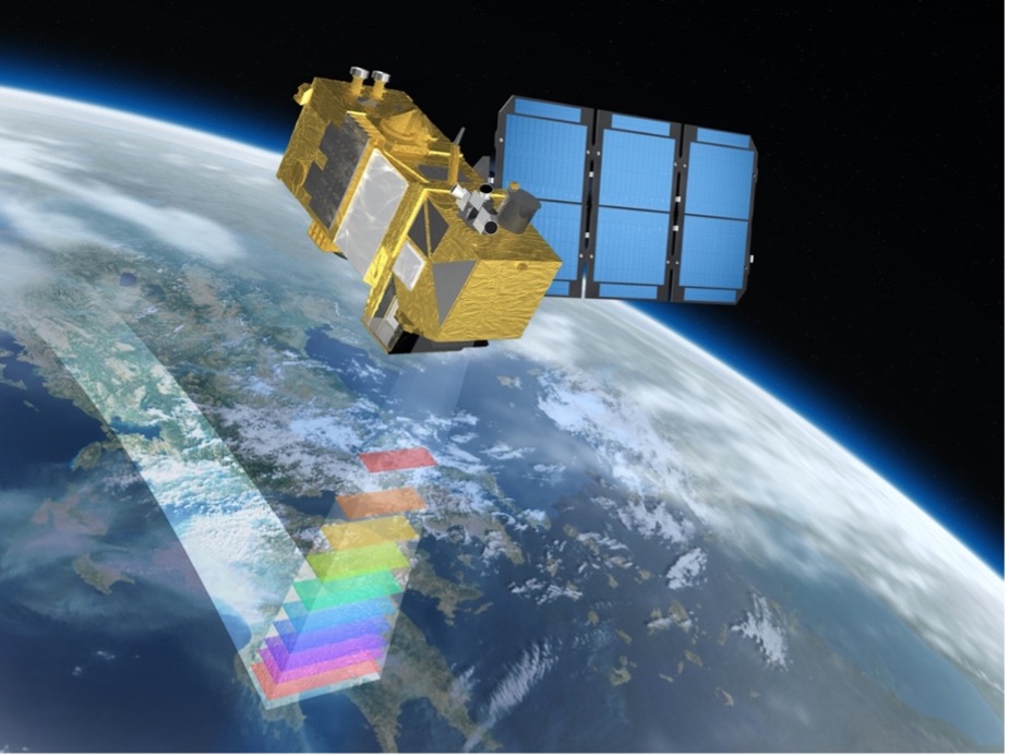
Sentinel-2 employs high-resolution optical imaging to capture detailed images of Earth’s surface. This satellite is instrumental in monitoring vegetation health, land use changes, and natural disasters, offering vital data for agriculture, forestry, and environmental management. Additionally, Sentinel-2 can assist in tracking the movement of animals, such as whales, penguins, and walruses, by analysing habitat changes and migration patterns from its images.
Sentinel-3
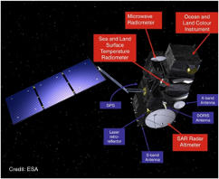
Sentinel-3 uses multiple sensors to measure sea surface topography, sea and land surface temperatures, and ocean and land surface colours with high accuracy. This supports ocean forecasting, environmental monitoring, and climate studies.
Sentinel-4 & Sentinel-5P
Sentinel-4 is equipped with ultraviolet, visible, near-infrared spectrometer instrument. It is fixed on a geostationary satellite, offering hourly high temporal resolution coverage, mainly over Europe, to monitor air quality and trace gases within the atmosphere.
Sentinel-5 Precursor is equipped with the advanced Tropomi instrument (special sensors). Operating in a polar orbit, it delivers high spatial resolution data, specifically designed to measure trace gases and aerosols in Earth’s atmosphere.
These trace gases influence air quality, human health, and climate. Both Sentinel-4 and Sentinel-5P collect data to support air quality forecasting and informed decision-making. Sentinel-4 offers real-time, regional monitoring, essential for managing local air quality, while Sentinel-5P provides global coverage, valuable for understanding worldwide atmospheric patterns and trends
Trace gases:
Nitrogen dioxide (NO2)
Ozone (O3)
Formaldehyde (HCHO)
Sulphur Dioxide (SO2)
Methane (CH4)
Carbon monoxide (CO)
Aerosols
Links to further information:
