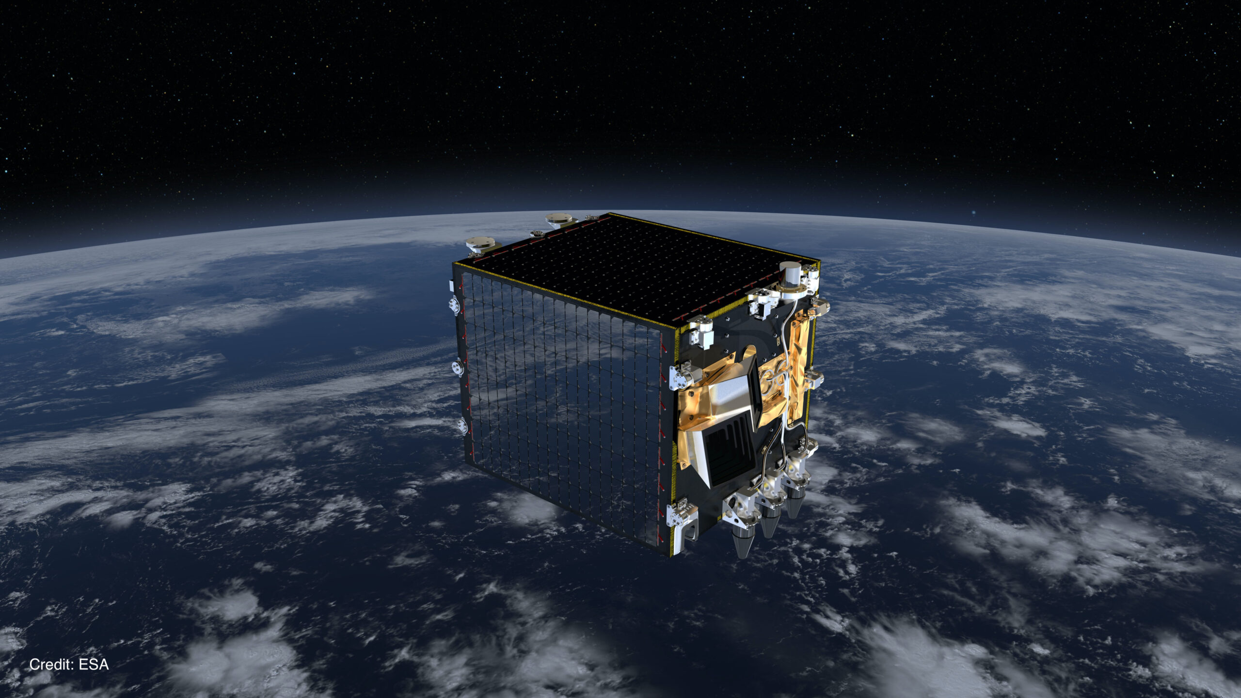
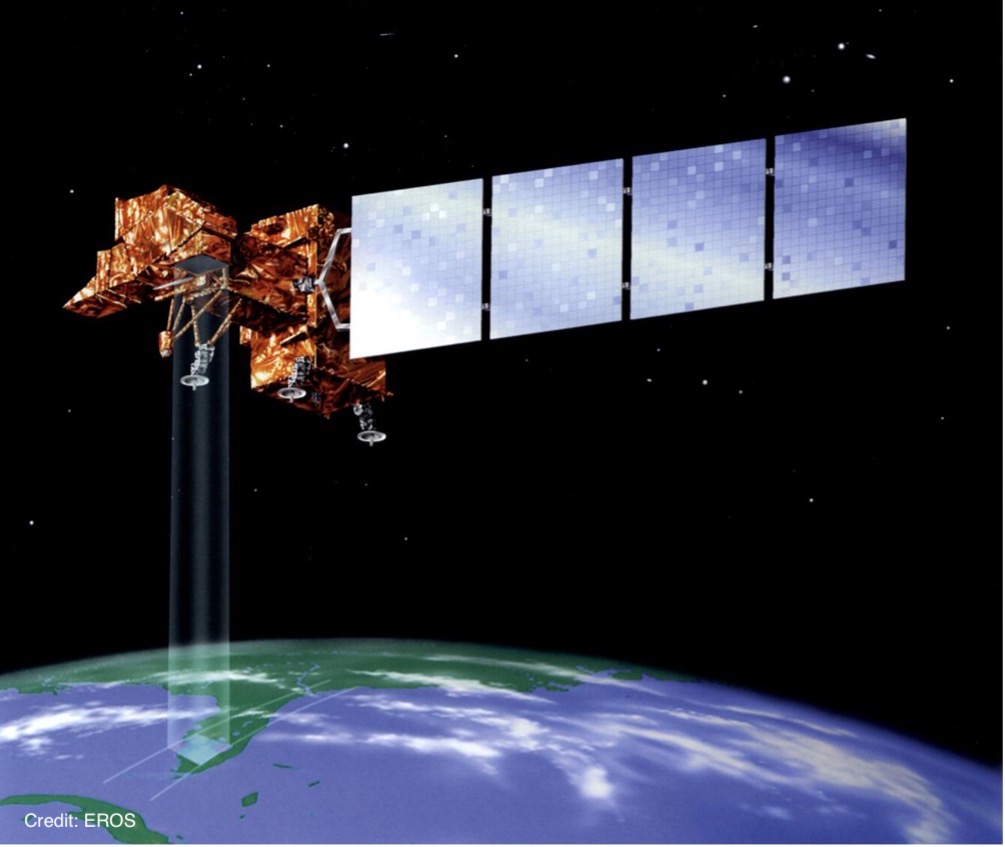
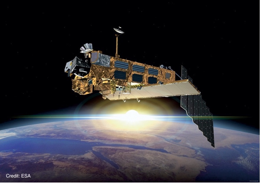
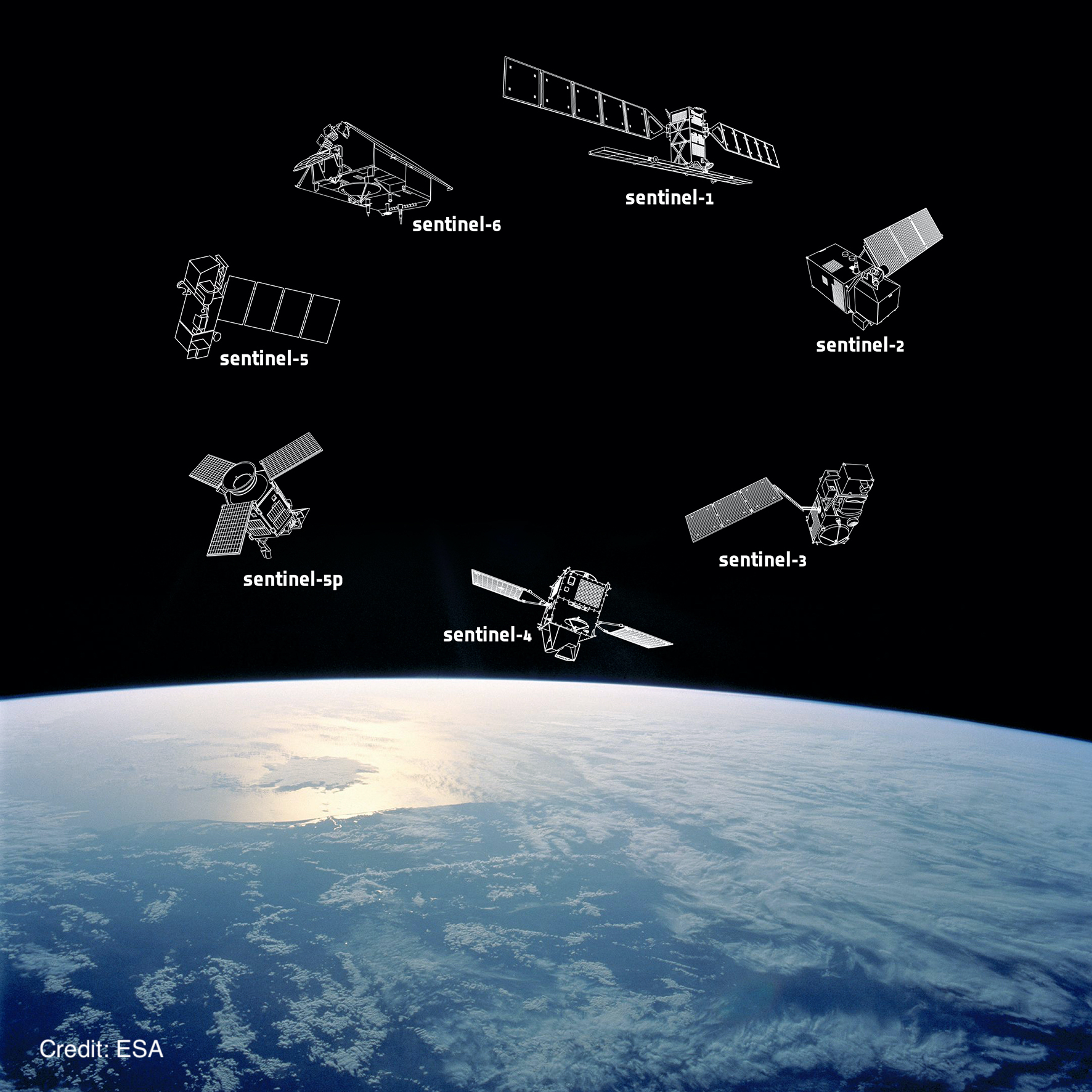
Low Earth orbit (LEO) satellites will orbit close to the Earth, particularly useful for high-resolution images of Earth.
Our World From Space
Satellites
Satellites are objects that orbit around other objects. They can be natural, like moons or planets, or artificial, like man-made satellites. For instance, the Moon orbits Earth, and Earth orbits the Sun. Satellites stay in orbit due to the balance between their forward motion and the gravitational pull of the object they orbit, which keeps them in a curved path around it. Without gravity, satellites would drift off into space.
For over 40 years, satellites have been crucial for monitoring Earth, aiding global communications, navigation, and environmental science.
As climate change and biodiversity loss become more pressing, satellite data is increasingly vital for understanding and addressing these issues.
Earth Observation (EO) satellites capture data about Earth’s atmosphere, oceans, and terrestrial environments to help us understand and manage our planet.
How satellites work
Satellites use “remote sensing” to observe and gather information about Earth from afar without physical contact. This technology can also be used on Earth with devices like research ships and planes. Remote sensing works similarly to how our eyes detect light to observe objects without touching them. For example, it’s like using an infrared thermometer to measure temperature from a distance, compared to a thermometer that needs direct contact.
Remote sensing can be passive, detecting reflected light or radiation, or active, where a satellite sends its own signal to measure reflections. Both methods require data processing to be useful. Active remote sensing includes RADAR, which uses radio waves to detect objects, and LIDAR, which uses lasers for similar purposes but in visible, ultraviolet, or infrared light.
Satellite orbits:
Low Earth orbit
Medium Earth orbit
Medium Earth orbit (MEO) satellites will orbit close enough for easy and quick communication, but far enough to get global coverage.
Highly Elliptical orbit
Highly Elliptical orbit (HEO) satellites brings the satellite closer to Earth at certain points in their orbit, useful for satellite communications for polar regions.
Geostationary orbit
Geostationary orbit (GEO) satellites will stay above the same spot on the equator, useful for constant communication with a point on the Earth.
Polar orbit
Polar orbiting satellites are typically positioned relatively close to Earth compared to other satellites, they pass from pole to pole, viewing the entire surface of Earth.
Sun-synchronous orbit
Sun-synchronous orbit (SSO) satellites orbit in a way that their position relative to the Sun remains constant, providing consistent lighting conditions over Earth, useful for weather monitoring or imaging.
Discover the different types of satellites and how they help us understand the effects of climate change and human impacts on our planet:
- Downloadable classroom activity: Using an EO browser
- Downloadable classroom activity: Measuring IR radiation
Check out our webinar!
Originally livestreamed and recorded July 8th 2021. Dr Emma Taylor joins the Trust for Sustainable Living to talk about how biodiversity can be explored and measured from space, as part of our Partner Power Summit: PROTECTING BIODIVERSITY.


