Landsat
Landsat satellites are a series of Earth Observation satellites jointly managed by NASA and the U.S Geological Survey (USGS). The Landsat program began in 1972 and is one of the longest-running satellite imaging programs. Its mission is to capture detailed images of Earth’s land surface, providing uninterrupted data to help land managers and policy makers make informed decisions about natural resources and the environment. Earlier Landsat satellites have been decommissioned, however Landsat 7, 8, and 9 are still active.
Landsat Program:
Landsat 7
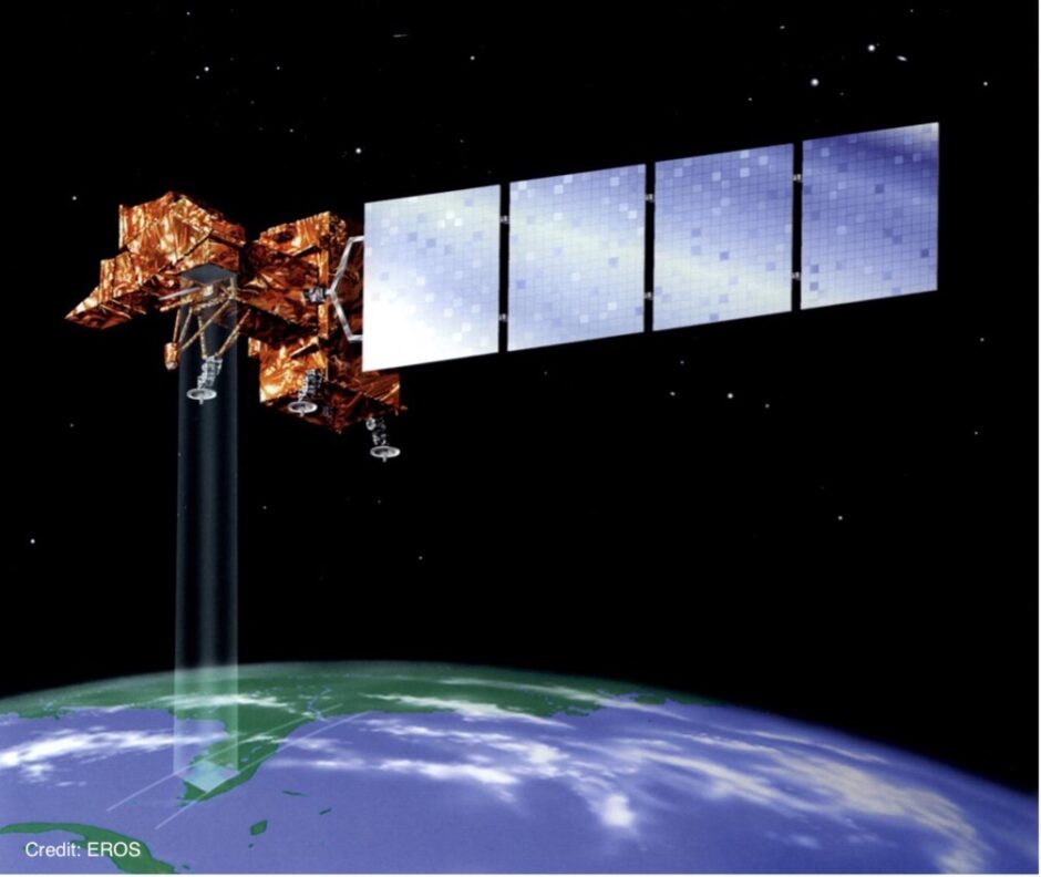
Landsat 7 uses multispectral and thermal imaging to capture detailed imagery and analysis of land, vegetation, water and urban areas. Originally launched in 1999 for a 5-year mission, however, is still providing data for land use, forestry and agriculture. In 2003 it suffered from a scale line corrector failure, resulting in data gaps, however remaining data is still useful.
Landsat 8
Landsat 8 also uses multispectral and thermal imaging; however, Landsat 8 captures more detailed atmospheric and surface data as it has additional costal/aerosol bands. Its primary focus is more precise measurements of land surface conditions, useful for agriculture, climate change studies, and water resource management.
Landsat 9
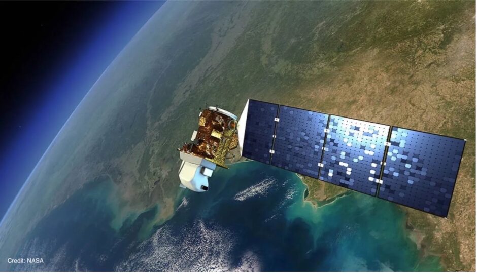
Landsat 9, similar to Landsat 8 also uses multispectral and thermal imaging, it works in tandem with Landsat 8, doubling the frequency of revisits, providing continuity for global land monitoring, with advanced environmental monitoring capabilities.


