Weather Forecasting
Weather satellites
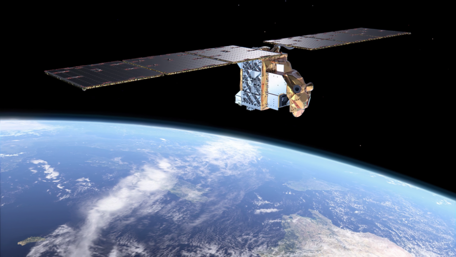
Weather satellites are used to monitor the weather and climate on Earth. The satellites carry radiometers with telescopes or antennas, scanners, and detectors to capture images by recording visible, infrared, or microwave radiation. They can be polar orbiting, cover the entire Earth asynchronously (at different times) or be geostationary (hovering over the same spot on the equator).
Polar orbiting satellites, positioned closer to Earth, capture sharper images, making them well-suited for monitoring global weather patterns and climate changes. In contrast, geostationary satellites, despite their higher altitude, are useful at continuous monitoring of the same region, making them ideal for tracking storms and severe weather events.

Just a month after its launch, ESA’s Arctic Weather Satellite has already delivered its first images, notably capturing Storm Boris, which has been wreaking havoc across central Europe. Although the satellite is still in its commissioning phase, engineers adjusted their testing schedule to evaluate how well the satellite could measure the effects of Storm Boris.
The animation shows measurements from 14 September 2024 in terms of ‘brightness temperature,’ with lower values (depicted in blue) indicating higher humidity levels. The animation presents these values at 1 km intervals, ranging from 1 km to 7 km above Earth’s surface. The torrential rainfall from Storm Boris is especially evident as dark blue regions low in the atmosphere over Hungary, Slovakia, and Poland.

Arctic Weather Satellite s first images capture Storm Boris Credit ESA
Links to further information:
ESA- Monitoring the weather from geostationary orbit
